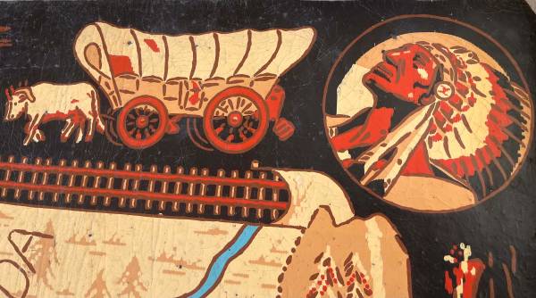
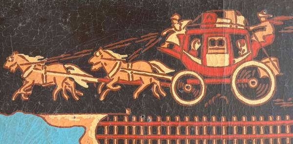
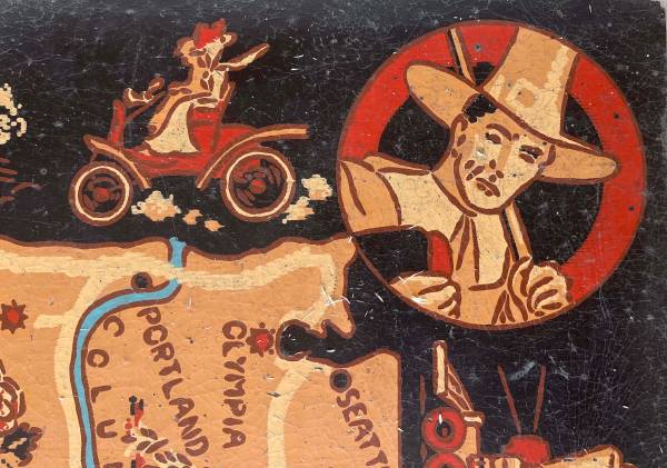
This 6x9-foot map of the US was produced by the Armstrong Linoleum Company in 1940. It has been used by three generations in our family but we no longer have a place for it. The black border depicts the development of transportation in the US from horseback to streamlined trains of the 1930s and early passenger aircraft. The attached photos depict the overall map and some of the details. The map has some cracks (see red circled areas in photos), but is intact. One corner piece has been mended. The map is flexible enough to be transported in a van or pickup, but it is brittle and needs to be handled with some care. If you are interested, it's available for inspection at our home. While these maps have sold at auction for several hundred dollars, our interest is finding a use where it can be appreciated.